Eastleigh Borough Council office, Kornwestheim Way
Introduction
The photograph on this page of Eastleigh Borough Council office, Kornwestheim Way by Peter Facey as part of the Geograph project.
The Geograph project started in 2005 with the aim of publishing, organising and preserving representative images for every square kilometre of Great Britain, Ireland and the Isle of Man.

There are currently over 7.5m images from over 14,400 individuals and you can help contribute to the project by visiting https://www.geograph.org.uk
Eastleigh Borough Council office, Kornwestheim Way
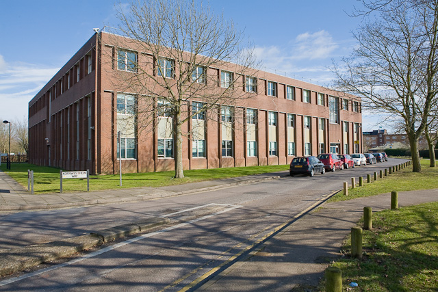
Image: © Peter Facey Taken: 13 Feb 2009
Eastleigh was twinned with the French town of Villeneuve-Saint-Georges in 1964, see http://www.eastleigh.gov.uk/ . The short private road running across along the left side of this building is named Villeneuve St. Georges Way. Eastleigh was twinned with the German town of Kornwestheim in 1978.
Images are licensed for reuse under creativecommons.org/licenses/by-sa/2.0
Image Location
Latitude
50.971425
Longitude
-1.371446