The Lurgan Road, Banbridge
Introduction
The photograph on this page of The Lurgan Road, Banbridge by Albert Bridge as part of the Geograph project.
The Geograph project started in 2005 with the aim of publishing, organising and preserving representative images for every square kilometre of Great Britain, Ireland and the Isle of Man.

There are currently over 7.5m images from over 14,400 individuals and you can help contribute to the project by visiting https://www.geograph.org.uk
The Lurgan Road, Banbridge
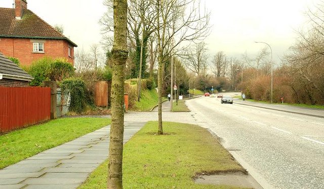
Image: © Albert Bridge Taken: 13 Feb 2009
The Lurgan Road, looking towards Seapatrick Image, opposite Bannview Heights. To the best of my knowledge the present line follows that of the Banbridge – Antrim turnpike (which joined the Belfast – Newry turnpike in Banbridge) of the early 19th century replacing the old road (further west) Image The road also forms part of the Banbridge – Portadown road.
Images are licensed for reuse under creativecommons.org/licenses/by-sa/2.0
Image Location
Latitude
54.358244
Longitude
-6.273951