Blocked bridleway at Nutcombe
Introduction
The photograph on this page of Blocked bridleway at Nutcombe by Shazz as part of the Geograph project.
The Geograph project started in 2005 with the aim of publishing, organising and preserving representative images for every square kilometre of Great Britain, Ireland and the Isle of Man.

There are currently over 7.5m images from over 14,400 individuals and you can help contribute to the project by visiting https://www.geograph.org.uk
Blocked bridleway at Nutcombe
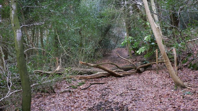
Image: © Shazz Taken: 12 Feb 2009
This is fine for walkers but no good for ponies and riders!
Images are licensed for reuse under creativecommons.org/licenses/by-sa/2.0
Image Location
Latitude
51.100295
Longitude
-0.738436