East Lambrook to South Petherton Footpath
Introduction
The photograph on this page of East Lambrook to South Petherton Footpath by Andy Pearce as part of the Geograph project.
The Geograph project started in 2005 with the aim of publishing, organising and preserving representative images for every square kilometre of Great Britain, Ireland and the Isle of Man.

There are currently over 7.5m images from over 14,400 individuals and you can help contribute to the project by visiting https://www.geograph.org.uk
East Lambrook to South Petherton Footpath
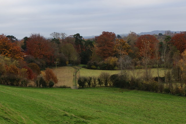
Image: © Andy Pearce Taken: 14 Nov 2008
This is the footpath at the South Petherton end. It runs parallel to the hedge on the right, passes through the lower gate and then through the further gate. It then becomes a track called Mare Lane. That name has also been adopted for a road of old people's bungalows which now runs parallel to the lane.
Images are licensed for reuse under creativecommons.org/licenses/by-sa/2.0
Image Location
Latitude
50.952508
Longitude
-2.808715