Towards the Port of Felixstowe
Introduction
The photograph on this page of Towards the Port of Felixstowe by MJ Reilly as part of the Geograph project.
The Geograph project started in 2005 with the aim of publishing, organising and preserving representative images for every square kilometre of Great Britain, Ireland and the Isle of Man.

There are currently over 7.5m images from over 14,400 individuals and you can help contribute to the project by visiting https://www.geograph.org.uk
Towards the Port of Felixstowe
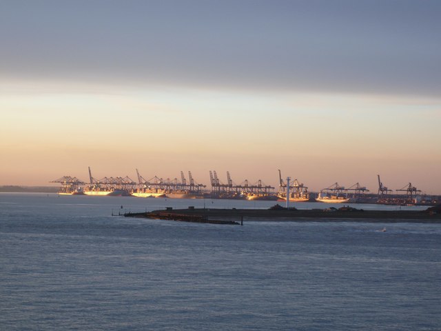
Image: © MJ Reilly Taken: 6 Apr 2008
View of the container ships lined up at Felixstowe from the arriving ferry.
Images are licensed for reuse under creativecommons.org/licenses/by-sa/2.0
Image Location
Latitude
51.955631
Longitude
1.307801