Footpath junction on Coombe Farm Lane
Introduction
The photograph on this page of Footpath junction on Coombe Farm Lane by David Anstiss as part of the Geograph project.
The Geograph project started in 2005 with the aim of publishing, organising and preserving representative images for every square kilometre of Great Britain, Ireland and the Isle of Man.

There are currently over 7.5m images from over 14,400 individuals and you can help contribute to the project by visiting https://www.geograph.org.uk
Footpath junction on Coombe Farm Lane
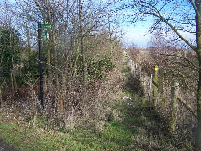
Image: © David Anstiss Taken: 8 Feb 2009
Path in centre leads along fence and then through field leading to the Ratcliffe Highway, close to Little Owls House. Also a path leads right through young woodland planted beside Coombe Farm Lane, and both lead to Ratcliffe Highway, opposite Nureland Cottages.
Images are licensed for reuse under creativecommons.org/licenses/by-sa/2.0
Image Location


Leaflet Map data © OpenStreetMap
Latitude
51.462543
Longitude
0.605772