Countryside north of Yeovil
Introduction
The photograph on this page of Countryside north of Yeovil by Nigel Mykura as part of the Geograph project.
The Geograph project started in 2005 with the aim of publishing, organising and preserving representative images for every square kilometre of Great Britain, Ireland and the Isle of Man.

There are currently over 7.5m images from over 14,400 individuals and you can help contribute to the project by visiting https://www.geograph.org.uk
Countryside north of Yeovil
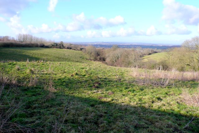
Image: © Nigel Mykura Taken: 11 Feb 2009
View north from close to Coombe Street Lane. This is the very edge of the built up part of Yeovil on the north side. The A37 is on the left of the image running north towards Ilchester.
Images are licensed for reuse under creativecommons.org/licenses/by-sa/2.0
Image Location
Latitude
50.958089
Longitude
-2.649344