Higher Beara Farm and Brent Hill
Introduction
The photograph on this page of Higher Beara Farm and Brent Hill by Adrian Platt as part of the Geograph project.
The Geograph project started in 2005 with the aim of publishing, organising and preserving representative images for every square kilometre of Great Britain, Ireland and the Isle of Man.

There are currently over 7.5m images from over 14,400 individuals and you can help contribute to the project by visiting https://www.geograph.org.uk
Higher Beara Farm and Brent Hill
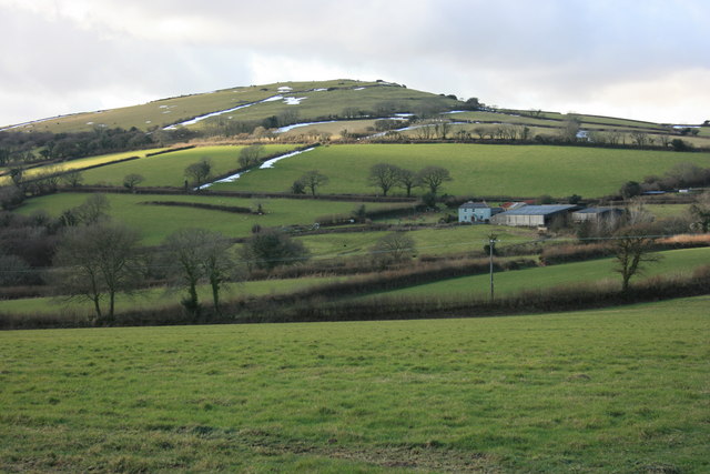
Image: © Adrian Platt Taken: 11 Feb 2009
Taken from the eastern end of Forder Lane. Higher Beara Farm sits on the slopes of Beara common, which is capped by Brent Hill. Remnants of last week's snow can still be seen despite the subsequent deluge which led to local flooding.
Images are licensed for reuse under creativecommons.org/licenses/by-sa/2.0
Image Location
Latitude
50.440759
Longitude
-3.815659