Cromer Hill
Introduction
The photograph on this page of Cromer Hill by Simon Huguet as part of the Geograph project.
The Geograph project started in 2005 with the aim of publishing, organising and preserving representative images for every square kilometre of Great Britain, Ireland and the Isle of Man.

There are currently over 7.5m images from over 14,400 individuals and you can help contribute to the project by visiting https://www.geograph.org.uk
Cromer Hill
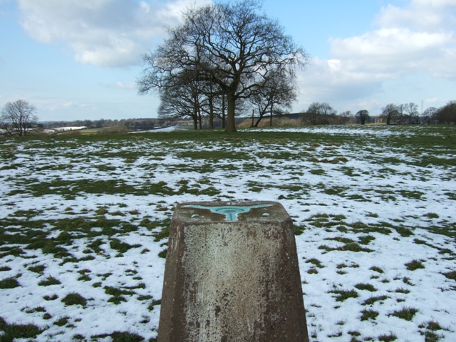
Image: © Simon Huguet Taken: 10 Feb 2009
Looking across the top of the OS triangulation pillar towards the hamlet of Smallrice. A new telecoms mast by the road from Sandon to Milwich can just be seen to the right.
Images are licensed for reuse under creativecommons.org/licenses/by-sa/2.0
Image Location


Leaflet Map data © OpenStreetMap
Latitude
52.877895
Longitude
-2.052854