View of Pow Burn at Farnell looking upstream
Introduction
The photograph on this page of View of Pow Burn at Farnell looking upstream by Alan Morrison as part of the Geograph project.
The Geograph project started in 2005 with the aim of publishing, organising and preserving representative images for every square kilometre of Great Britain, Ireland and the Isle of Man.

There are currently over 7.5m images from over 14,400 individuals and you can help contribute to the project by visiting https://www.geograph.org.uk
View of Pow Burn at Farnell looking upstream
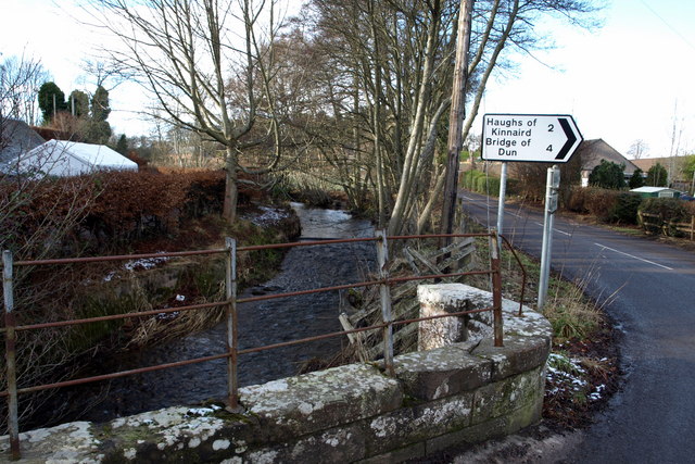
Image: © Alan Morrison Taken: 6 Feb 2009
Picture taken from the bridge over the Pow Burn at Farnell. The road to Brechin can be clearly seen.
Images are licensed for reuse under creativecommons.org/licenses/by-sa/2.0
Image Location
Latitude
56.690011
Longitude
-2.609252