2009 : At the top of Cheese Hill
Introduction
The photograph on this page of 2009 : At the top of Cheese Hill by Maurice Pullin as part of the Geograph project.
The Geograph project started in 2005 with the aim of publishing, organising and preserving representative images for every square kilometre of Great Britain, Ireland and the Isle of Man.

There are currently over 7.5m images from over 14,400 individuals and you can help contribute to the project by visiting https://www.geograph.org.uk
2009 : At the top of Cheese Hill
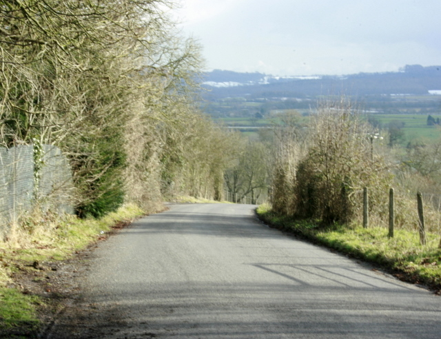
Image: © Maurice Pullin Taken: 10 Feb 2009
Cheese Hill drops down from the A361 to Marston Bigot. Could this, perhaps, have been one of the venues for the old west country sport of cheese rolling?
Images are licensed for reuse under creativecommons.org/licenses/by-sa/2.0
Image Location
Latitude
51.204474
Longitude
-2.357222