Farmland around Wadlow Farm
Introduction
The photograph on this page of Farmland around Wadlow Farm by Hugh Venables as part of the Geograph project.
The Geograph project started in 2005 with the aim of publishing, organising and preserving representative images for every square kilometre of Great Britain, Ireland and the Isle of Man.

There are currently over 7.5m images from over 14,400 individuals and you can help contribute to the project by visiting https://www.geograph.org.uk
Farmland around Wadlow Farm
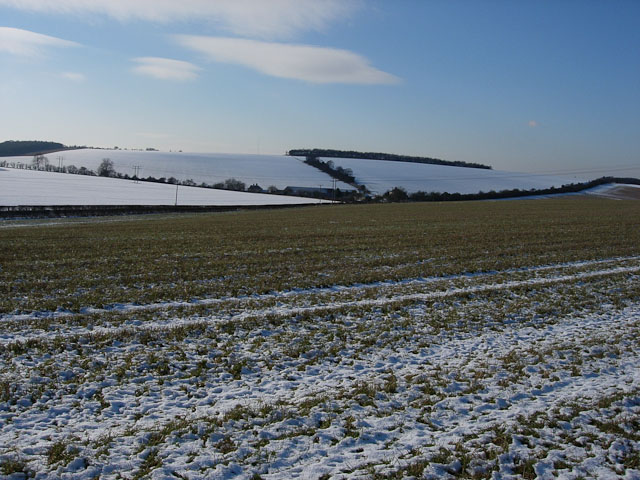
Image: © Hugh Venables Taken: 7 Feb 2009
The north-east facing fields have retained more snow than the south-west facing field in the foreground. This grassy field held wintering Corn Buntings (now notably rare) together with Skylarks and Yellowhammers.
Images are licensed for reuse under creativecommons.org/licenses/by-sa/2.0
Image Location


Leaflet Map data © OpenStreetMap
Latitude
52.163782
Longitude
0.315054