Nant Carn Road
Introduction
The photograph on this page of Nant Carn Road by Robin Drayton as part of the Geograph project.
The Geograph project started in 2005 with the aim of publishing, organising and preserving representative images for every square kilometre of Great Britain, Ireland and the Isle of Man.

There are currently over 7.5m images from over 14,400 individuals and you can help contribute to the project by visiting https://www.geograph.org.uk
Nant Carn Road
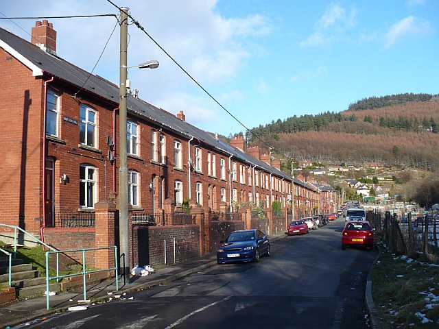
Image: © Robin Drayton Taken: 7 Feb 2009
This was the route to Cwmcarn Visitor Centre when the usual route was closed because of ice. For a completely different view of this road see http://www.geograph.org.uk/photo/89411 .
Images are licensed for reuse under creativecommons.org/licenses/by-sa/2.0
Image Location
Latitude
51.635722
Longitude
-3.124832