Four Mile House, Brookthorpe
Introduction
The photograph on this page of Four Mile House, Brookthorpe by Philip Halling as part of the Geograph project.
The Geograph project started in 2005 with the aim of publishing, organising and preserving representative images for every square kilometre of Great Britain, Ireland and the Isle of Man.

There are currently over 7.5m images from over 14,400 individuals and you can help contribute to the project by visiting https://www.geograph.org.uk
Four Mile House, Brookthorpe
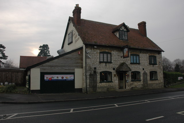
Image: © Philip Halling Taken: 10 Jan 2009
Presumably named because it is situated four miles from Gloucester as indicated by the milestone on the opposite side of the road.
Images are licensed for reuse under creativecommons.org/licenses/by-sa/2.0
Image Location
Latitude
51.807478
Longitude
-2.237238