Christchurch, playing field or paddling pool?
Introduction
The photograph on this page of Christchurch, playing field or paddling pool? by Mike Faherty as part of the Geograph project.
The Geograph project started in 2005 with the aim of publishing, organising and preserving representative images for every square kilometre of Great Britain, Ireland and the Isle of Man.

There are currently over 7.5m images from over 14,400 individuals and you can help contribute to the project by visiting https://www.geograph.org.uk
Christchurch, playing field or paddling pool?
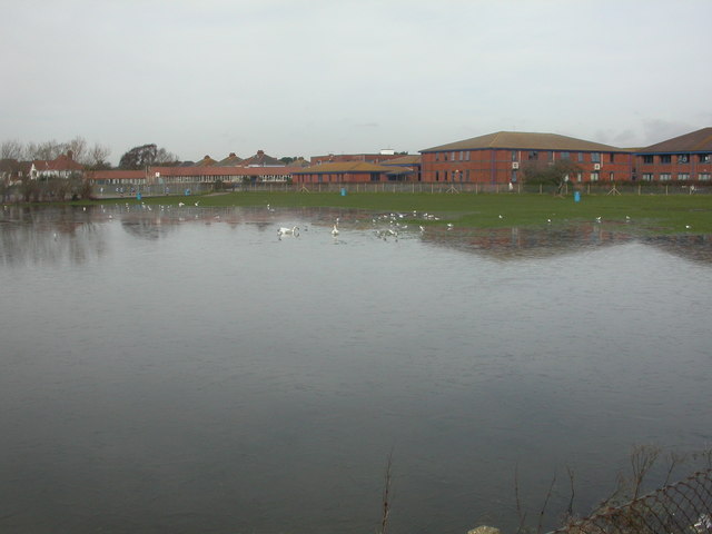
Image: © Mike Faherty Taken: 11 Feb 2009
The playing field next to Twynham School regularly floods because of its nearness to the Stour, and a high water table. Today, the water level is high enough for a pair of swans to have taken up residence; nearby, oyster catchers are pottering about, probing the soil.
Images are licensed for reuse under creativecommons.org/licenses/by-sa/2.0
Image Location


Leaflet Map data © OpenStreetMap
Latitude
50.731645
Longitude
-1.782876