Weatherboarded cottages, Chart Hill
Introduction
The photograph on this page of Weatherboarded cottages, Chart Hill by N Chadwick as part of the Geograph project.
The Geograph project started in 2005 with the aim of publishing, organising and preserving representative images for every square kilometre of Great Britain, Ireland and the Isle of Man.

There are currently over 7.5m images from over 14,400 individuals and you can help contribute to the project by visiting https://www.geograph.org.uk
Weatherboarded cottages, Chart Hill
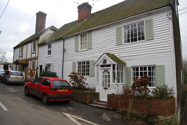
Image: © N Chadwick Taken: 8 Feb 2009
This type of weatherboarding is very common in rural Kent.
Images are licensed for reuse under creativecommons.org/licenses/by-sa/2.0
Image Location
Latitude
51.21647
Longitude
0.569366