Steep path down into Garrigill
Introduction
The photograph on this page of Steep path down into Garrigill by Oliver Dixon as part of the Geograph project.
The Geograph project started in 2005 with the aim of publishing, organising and preserving representative images for every square kilometre of Great Britain, Ireland and the Isle of Man.

There are currently over 7.5m images from over 14,400 individuals and you can help contribute to the project by visiting https://www.geograph.org.uk
Steep path down into Garrigill
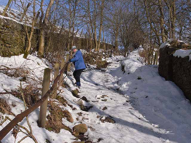
Image: © Oliver Dixon Taken: 10 Feb 2009
A steep but well-used path leads down from Loaning Head to Garrigill Bridge. In snow, this path becomes quite treacherous, and a firm hold on the railings is required!
Images are licensed for reuse under creativecommons.org/licenses/by-sa/2.0
Image Location


Leaflet Map data © OpenStreetMap
Latitude
54.769128
Longitude
-2.395852