South end of Garrigill village
Introduction
The photograph on this page of South end of Garrigill village by Oliver Dixon as part of the Geograph project.
The Geograph project started in 2005 with the aim of publishing, organising and preserving representative images for every square kilometre of Great Britain, Ireland and the Isle of Man.

There are currently over 7.5m images from over 14,400 individuals and you can help contribute to the project by visiting https://www.geograph.org.uk
South end of Garrigill village
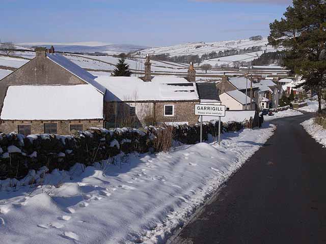
Image: © Oliver Dixon Taken: 10 Feb 2009
Entry to the remote village of Garrigill http://www.thecumbriadirectory.com/Town_or_Village/Garrigill/Garrigill.php high up in South Tynedale at an altitude of over 340 metres, from the Tynehead road.
Images are licensed for reuse under creativecommons.org/licenses/by-sa/2.0
Image Location
Latitude
54.765709
Longitude
-2.396907