Strouden Park Chapel
Introduction
The photograph on this page of Strouden Park Chapel by Mike Faherty as part of the Geograph project.
The Geograph project started in 2005 with the aim of publishing, organising and preserving representative images for every square kilometre of Great Britain, Ireland and the Isle of Man.

There are currently over 7.5m images from over 14,400 individuals and you can help contribute to the project by visiting https://www.geograph.org.uk
Strouden Park Chapel
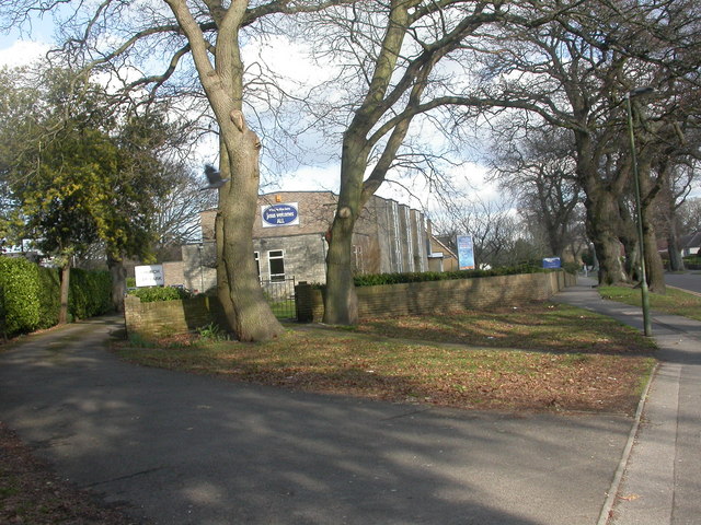
Image: © Mike Faherty Taken: 10 Feb 2009
Lively sounding community church on Woodbury Avenue, near to Castlepoint. For details of its activities, see http://www.spc-church.org.uk/index.php?option=com_frontpage&Itemid=1
Images are licensed for reuse under creativecommons.org/licenses/by-sa/2.0
Image Location
Latitude
50.752236
Longitude
-1.837072