Portobello Methodist Church, Portobello
Introduction
The photograph on this page of Portobello Methodist Church, Portobello by Richard Law as part of the Geograph project.
The Geograph project started in 2005 with the aim of publishing, organising and preserving representative images for every square kilometre of Great Britain, Ireland and the Isle of Man.

There are currently over 7.5m images from over 14,400 individuals and you can help contribute to the project by visiting https://www.geograph.org.uk
Portobello Methodist Church, Portobello
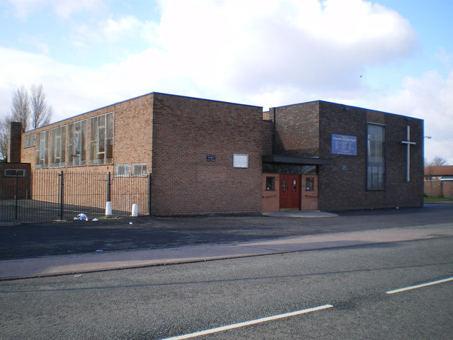
Image: © Richard Law Taken: 10 Feb 2009
This sits at the north end of Moseley Road, just before the Willenhall Road dual carriageway (the A454).
Images are licensed for reuse under creativecommons.org/licenses/by-sa/2.0
Image Location
Latitude
52.58168
Longitude
-2.069172