Lockitt Way
Introduction
The photograph on this page of Lockitt Way by Simon Carey as part of the Geograph project.
The Geograph project started in 2005 with the aim of publishing, organising and preserving representative images for every square kilometre of Great Britain, Ireland and the Isle of Man.

There are currently over 7.5m images from over 14,400 individuals and you can help contribute to the project by visiting https://www.geograph.org.uk
Lockitt Way
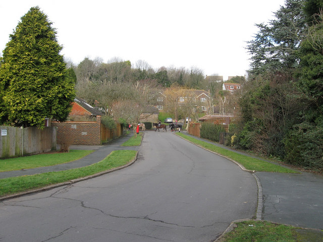
Image: © Simon Carey Taken: 8 Feb 2009
Looking back towards the junction with The Avenue whose only traffic is of the four legged variety. The rise in land can be seen clearly beyond.
Images are licensed for reuse under creativecommons.org/licenses/by-sa/2.0
Image Location
Latitude
50.858937
Longitude
-0.025421