Iet-y-bontbren
Introduction
The photograph on this page of Iet-y-bontbren by Natasha Ceridwen de Chroustchoff as part of the Geograph project.
The Geograph project started in 2005 with the aim of publishing, organising and preserving representative images for every square kilometre of Great Britain, Ireland and the Isle of Man.

There are currently over 7.5m images from over 14,400 individuals and you can help contribute to the project by visiting https://www.geograph.org.uk
Iet-y-bontbren
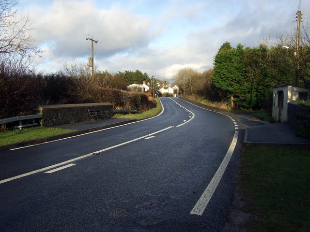
Image: © Natasha Ceridwen de Chroustchoff Taken: 8 Feb 2009
The name means 'gate of the wooden bridge' but nowadays there's just a culvert running under the A487 trunk road and a few houses strung alongside, the westernmost outpost of the linear village of Dinas Cross. A bus shelter on one side and a seat on the other indicates that public transport is still an option here.
Images are licensed for reuse under creativecommons.org/licenses/by-sa/2.0
Image Location
Latitude
52.001066
Longitude
-4.919229