Whitworth Rake
Introduction
The photograph on this page of Whitworth Rake by Alan Taylor as part of the Geograph project.
The Geograph project started in 2005 with the aim of publishing, organising and preserving representative images for every square kilometre of Great Britain, Ireland and the Isle of Man.

There are currently over 7.5m images from over 14,400 individuals and you can help contribute to the project by visiting https://www.geograph.org.uk
Whitworth Rake
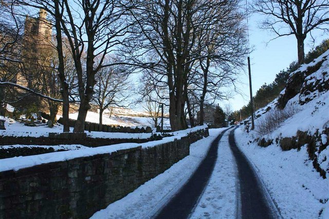
Image: © Alan Taylor Taken: 6 Feb 2009
Looking towards Lobden. St. Bartholomew's church is behind the trees on the left.
Images are licensed for reuse under creativecommons.org/licenses/by-sa/2.0
Image Location
Latitude
53.654772
Longitude
-2.17154