Fore Street, Barton
Introduction
The photograph on this page of Fore Street, Barton by Derek Harper as part of the Geograph project.
The Geograph project started in 2005 with the aim of publishing, organising and preserving representative images for every square kilometre of Great Britain, Ireland and the Isle of Man.

There are currently over 7.5m images from over 14,400 individuals and you can help contribute to the project by visiting https://www.geograph.org.uk
Fore Street, Barton
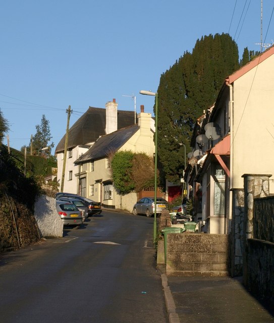
Image: © Derek Harper Taken: 7 Feb 2009
The two houses further up the hill are both listed; the nearer is described as "House and shop. c1850, possibly with earlier core" - see http://www.imagesofengland.org.uk/Details/Default.aspx?id=390605&mode=adv . The thatched cottage beside it is "Probably C18. Plastered cob; thatched roof with plain ridge, hipped at ends ... Formerly part of a court of cottages". See http://www.imagesofengland.org.uk/Details/Default.aspx?id=390606&mode=adv .
Images are licensed for reuse under creativecommons.org/licenses/by-sa/2.0
Image Location
Latitude
50.492932
Longitude
-3.535923