Young's Farm
Introduction
The photograph on this page of Young's Farm by Hugh Craddock as part of the Geograph project.
The Geograph project started in 2005 with the aim of publishing, organising and preserving representative images for every square kilometre of Great Britain, Ireland and the Isle of Man.

There are currently over 7.5m images from over 14,400 individuals and you can help contribute to the project by visiting https://www.geograph.org.uk
Young's Farm
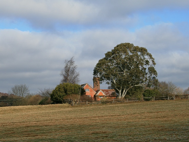
Image: © Hugh Craddock Taken: 7 Feb 2009
A late C16 three bay house with C17 2½ storey wing and C19 laundry wing. Seen from public bridleway Ockley 157 (also the drive to Young's Farm).
Images are licensed for reuse under creativecommons.org/licenses/by-sa/2.0
Image Location
Latitude
51.156083
Longitude
-0.338237