Church Lane emerges onto the road at Lane End
Introduction
The photograph on this page of Church Lane emerges onto the road at Lane End by Peter Facey as part of the Geograph project.
The Geograph project started in 2005 with the aim of publishing, organising and preserving representative images for every square kilometre of Great Britain, Ireland and the Isle of Man.

There are currently over 7.5m images from over 14,400 individuals and you can help contribute to the project by visiting https://www.geograph.org.uk
Church Lane emerges onto the road at Lane End
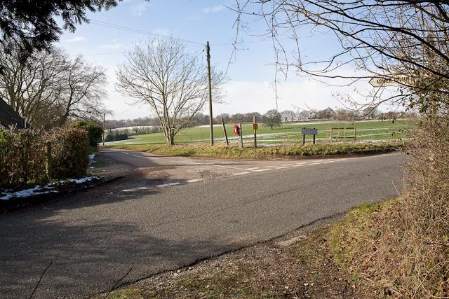
Image: © Peter Facey Taken: 8 Feb 2009
Church Lane is the restricted byway behind camera. Ahead is Longwood Dean Lane whilst the road crossing in foreground has no name but goes to The Milburys pub.
Images are licensed for reuse under creativecommons.org/licenses/by-sa/2.0
Image Location
Latitude
51.027972
Longitude
-1.206411