Ballyclog, Church of Ireland
Introduction
The photograph on this page of Ballyclog, Church of Ireland by Linda Bailey as part of the Geograph project.
The Geograph project started in 2005 with the aim of publishing, organising and preserving representative images for every square kilometre of Great Britain, Ireland and the Isle of Man.

There are currently over 7.5m images from over 14,400 individuals and you can help contribute to the project by visiting https://www.geograph.org.uk
Ballyclog, Church of Ireland
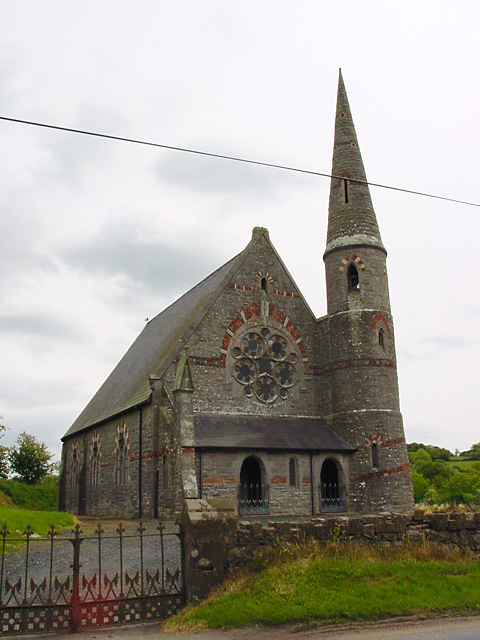
Image: © Linda Bailey Taken: 31 May 2000
Looking south-east from the B160 road to the church. The old church stands across the road in ruins.
Images are licensed for reuse under creativecommons.org/licenses/by-sa/2.0
Image Location
Latitude
54.604281
Longitude
-6.65828