Track leading to Celtic Harmony Camp, Brickendon
Introduction
The photograph on this page of Track leading to Celtic Harmony Camp, Brickendon by Christine Matthews as part of the Geograph project.
The Geograph project started in 2005 with the aim of publishing, organising and preserving representative images for every square kilometre of Great Britain, Ireland and the Isle of Man.

There are currently over 7.5m images from over 14,400 individuals and you can help contribute to the project by visiting https://www.geograph.org.uk
Track leading to Celtic Harmony Camp, Brickendon
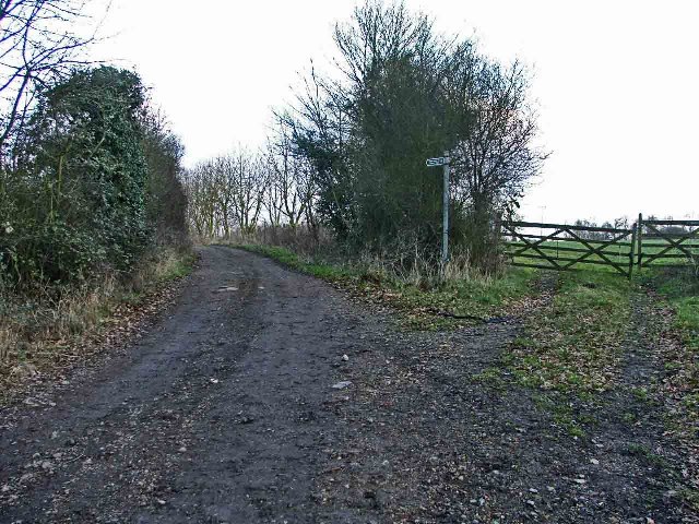
Image: © Christine Matthews Taken: 29 Jan 2006
Track leading from Brickendon Lane to the Celtic Harmony Camp the gate on the right leads through to Bourne Orchard
Images are licensed for reuse under creativecommons.org/licenses/by-sa/2.0
Image Location


Leaflet Map data © OpenStreetMap
Latitude
51.759519
Longitude
-0.08158