The Source of East Beck
Introduction
The photograph on this page of The Source of East Beck by Martin Dawes as part of the Geograph project.
The Geograph project started in 2005 with the aim of publishing, organising and preserving representative images for every square kilometre of Great Britain, Ireland and the Isle of Man.

There are currently over 7.5m images from over 14,400 individuals and you can help contribute to the project by visiting https://www.geograph.org.uk
The Source of East Beck
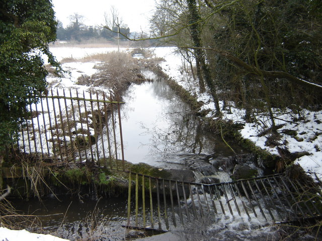
Image: © Martin Dawes Taken: 4 Feb 2009
From the lakes at Londesborough East Beck runs to Market Weighton
Images are licensed for reuse under creativecommons.org/licenses/by-sa/2.0
Image Location
Latitude
53.891201
Longitude
-0.678611