Water tank and trough, near Amersham
Introduction
The photograph on this page of Water tank and trough, near Amersham by David Hawgood as part of the Geograph project.
The Geograph project started in 2005 with the aim of publishing, organising and preserving representative images for every square kilometre of Great Britain, Ireland and the Isle of Man.

There are currently over 7.5m images from over 14,400 individuals and you can help contribute to the project by visiting https://www.geograph.org.uk
Water tank and trough, near Amersham
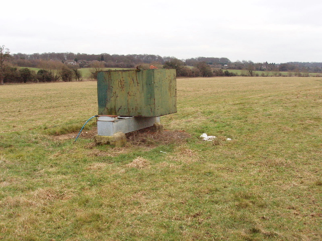
Image: © David Hawgood Taken: 30 Jan 2006
This is on a footpath just above the River Misbourne, providing drinking water for livestock on this pasture.
Images are licensed for reuse under creativecommons.org/licenses/by-sa/2.0
Image Location


Leaflet Map data © OpenStreetMap
Latitude
51.660757
Longitude
-0.601921