Stile, near Chalfont St Giles
Introduction
The photograph on this page of Stile, near Chalfont St Giles by David Hawgood as part of the Geograph project.
The Geograph project started in 2005 with the aim of publishing, organising and preserving representative images for every square kilometre of Great Britain, Ireland and the Isle of Man.

There are currently over 7.5m images from over 14,400 individuals and you can help contribute to the project by visiting https://www.geograph.org.uk
Stile, near Chalfont St Giles
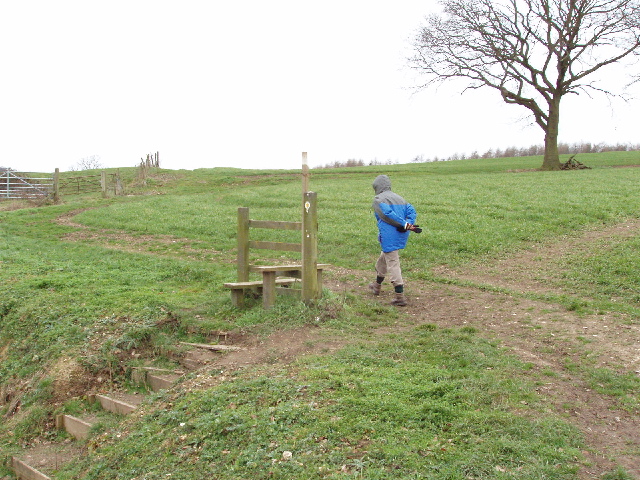
Image: © David Hawgood Taken: 30 Jan 2006
This is on the footpath going north out of the farmyard at Upper Bottom House. It seems to have been left to show where the footpath is, rather than expecting anyone to climb over it.
Images are licensed for reuse under creativecommons.org/licenses/by-sa/2.0
Image Location
Latitude
51.642642
Longitude
-0.590917