Farmland, Wakefield
Introduction
The photograph on this page of Farmland, Wakefield by Stuart and Fiona Jackson as part of the Geograph project.
The Geograph project started in 2005 with the aim of publishing, organising and preserving representative images for every square kilometre of Great Britain, Ireland and the Isle of Man.

There are currently over 7.5m images from over 14,400 individuals and you can help contribute to the project by visiting https://www.geograph.org.uk
Farmland, Wakefield
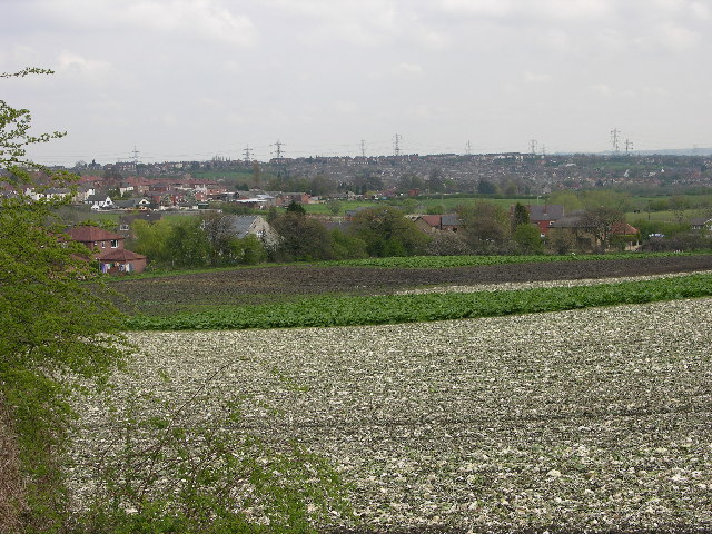
Image: © Stuart and Fiona Jackson Taken: Unknown
Taken from the end of Silver Street, looking over the farm land to the houses on Grey Street and Ouchthorpe Lane.
Images are licensed for reuse under creativecommons.org/licenses/by-sa/2.0
Image Location


Leaflet Map data © OpenStreetMap
Latitude
53.704723
Longitude
-1.499162