The Snowy Footpath
Introduction
The photograph on this page of The Snowy Footpath by Helen L Cave as part of the Geograph project.
The Geograph project started in 2005 with the aim of publishing, organising and preserving representative images for every square kilometre of Great Britain, Ireland and the Isle of Man.

There are currently over 7.5m images from over 14,400 individuals and you can help contribute to the project by visiting https://www.geograph.org.uk
The Snowy Footpath
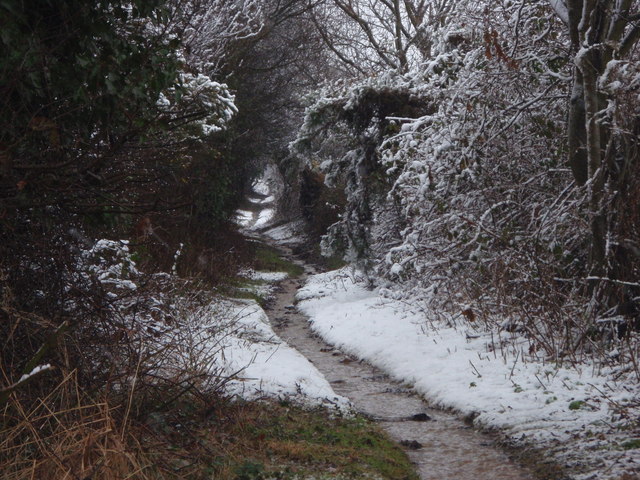
Image: © Helen L Cave Taken: 6 Feb 2009
This is the Footpath (not a stream) opposite Waterloo Road / Wareham Road, Heading up on to the Heath on a very cold snowy wintery day 6th February 2009.
Images are licensed for reuse under creativecommons.org/licenses/by-sa/2.0
Image Location


Leaflet Map data © OpenStreetMap
Latitude
50.758641
Longitude
-2.02887