Houses
Introduction
The photograph on this page of Houses by Christine Westerback as part of the Geograph project.
The Geograph project started in 2005 with the aim of publishing, organising and preserving representative images for every square kilometre of Great Britain, Ireland and the Isle of Man.

There are currently over 7.5m images from over 14,400 individuals and you can help contribute to the project by visiting https://www.geograph.org.uk
Houses
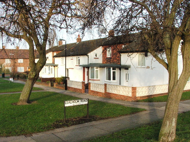
Image: © Christine Westerback Taken: 30 Jan 2006
These charming houses are just off the main A191 road and opposite the ever expanding site of the DWP.
Images are licensed for reuse under creativecommons.org/licenses/by-sa/2.0
Image Location


Leaflet Map data © OpenStreetMap
Latitude
55.010357
Longitude
-1.587172