Flaunden WT station
Introduction
The photograph on this page of Flaunden WT station by Graham Horn as part of the Geograph project.
The Geograph project started in 2005 with the aim of publishing, organising and preserving representative images for every square kilometre of Great Britain, Ireland and the Isle of Man.

There are currently over 7.5m images from over 14,400 individuals and you can help contribute to the project by visiting https://www.geograph.org.uk
Flaunden WT station
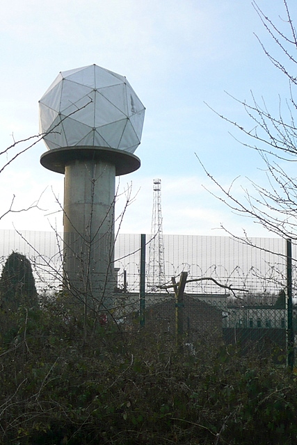
Image: © Graham Horn Taken: 20 Jan 2009
As marked on the map. But what function does this have? Is it aircraft control or detection related?
Images are licensed for reuse under creativecommons.org/licenses/by-sa/2.0
Image Location
Latitude
51.689466
Longitude
-0.530292