Burnhills Landfill Site
Introduction
The photograph on this page of Burnhills Landfill Site by Steve McShane as part of the Geograph project.
The Geograph project started in 2005 with the aim of publishing, organising and preserving representative images for every square kilometre of Great Britain, Ireland and the Isle of Man.

There are currently over 7.5m images from over 14,400 individuals and you can help contribute to the project by visiting https://www.geograph.org.uk
Burnhills Landfill Site
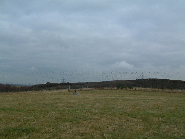
Image: © Steve McShane Taken: 28 Jan 2006
A fairly nondescript photo of the south-western edge of the landfill site, without getting too close to these unsightly areas... This shot is taken from fields at the end of Burnhills Lane (itself a horrible track which has been used as a dumping ground for the usual things - old fridges, cookers etc...). Apart from the Folly landhill site, there's not much that this square has to offer.
Images are licensed for reuse under creativecommons.org/licenses/by-sa/2.0
Image Location


Leaflet Map data © OpenStreetMap
Latitude
54.954213
Longitude
-1.76263