Path by the Dart, Totnes
Introduction
The photograph on this page of Path by the Dart, Totnes by David Hawgood as part of the Geograph project.
The Geograph project started in 2005 with the aim of publishing, organising and preserving representative images for every square kilometre of Great Britain, Ireland and the Isle of Man.

There are currently over 7.5m images from over 14,400 individuals and you can help contribute to the project by visiting https://www.geograph.org.uk
Path by the Dart, Totnes
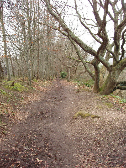
Image: © David Hawgood Taken: 31 Jan 2009
This is just above the main road bridge, Brutus Bridge. The path is shown on the 1:25,000 map as a public footpath beside the Dart as far as the weir which diverted water into the Mill Leat. The path runs between an industrial estate and the river, and is not shown on the 1:50,000 map.
Images are licensed for reuse under creativecommons.org/licenses/by-sa/2.0
Image Location
Latitude
50.433095
Longitude
-3.681131