Blacksboat Railway Station
Introduction
The photograph on this page of Blacksboat Railway Station by Ann Harrison as part of the Geograph project.
The Geograph project started in 2005 with the aim of publishing, organising and preserving representative images for every square kilometre of Great Britain, Ireland and the Isle of Man.

There are currently over 7.5m images from over 14,400 individuals and you can help contribute to the project by visiting https://www.geograph.org.uk
Blacksboat Railway Station
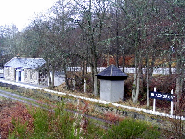
Image: © Ann Harrison Taken: 3 Feb 2009
Blacksboat Station is disused and the rails have been removed. The track now forms part of the Speyside way.
Images are licensed for reuse under creativecommons.org/licenses/by-sa/2.0
Image Location
Latitude
57.433249
Longitude
-3.361586