The River Ribble from the 'Bull Nose'
Introduction
The photograph on this page of The River Ribble from the 'Bull Nose' by Martin Stockdale as part of the Geograph project.
The Geograph project started in 2005 with the aim of publishing, organising and preserving representative images for every square kilometre of Great Britain, Ireland and the Isle of Man.

There are currently over 7.5m images from over 14,400 individuals and you can help contribute to the project by visiting https://www.geograph.org.uk
The River Ribble from the 'Bull Nose'
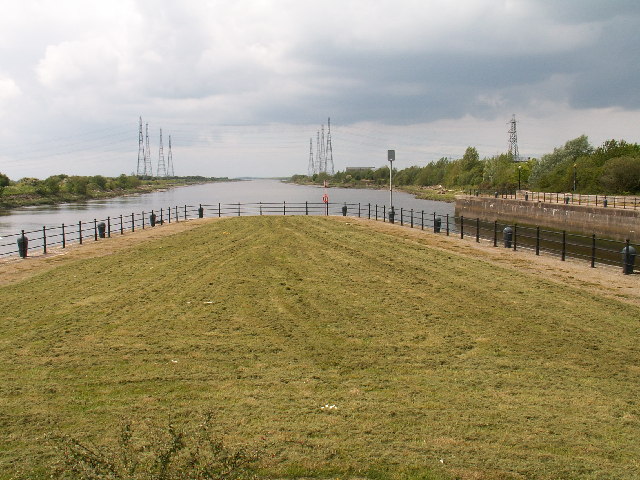
Image: © Martin Stockdale Taken: 21 May 2005
The River Ribble (tidal at this point) flows out of Preston into the picture from the left, and out of the centre of the picture towards Lytham and the sea. To the right of the picture is the man-made entrance to Preston Marina and Docks (SD 5129) which is controlled by sea gates.
Images are licensed for reuse under creativecommons.org/licenses/by-sa/2.0
Image Location


Leaflet Map data © OpenStreetMap
Latitude
53.759492
Longitude
-2.752297