Darton Village from the Longfields
Introduction
The photograph on this page of Darton Village from the Longfields by John Fielding as part of the Geograph project.
The Geograph project started in 2005 with the aim of publishing, organising and preserving representative images for every square kilometre of Great Britain, Ireland and the Isle of Man.

There are currently over 7.5m images from over 14,400 individuals and you can help contribute to the project by visiting https://www.geograph.org.uk
Darton Village from the Longfields
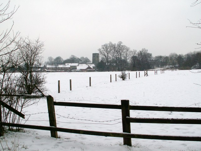
Image: © John Fielding Taken: 5 Feb 2009
The M1 runs to the right of pic. The row of houses are on Church Street.
Images are licensed for reuse under creativecommons.org/licenses/by-sa/2.0
Image Location
Latitude
53.586851
Longitude
-1.534998