Brunswick Road
Introduction
The photograph on this page of Brunswick Road by Simon Carey as part of the Geograph project.
The Geograph project started in 2005 with the aim of publishing, organising and preserving representative images for every square kilometre of Great Britain, Ireland and the Isle of Man.

There are currently over 7.5m images from over 14,400 individuals and you can help contribute to the project by visiting https://www.geograph.org.uk
Brunswick Road
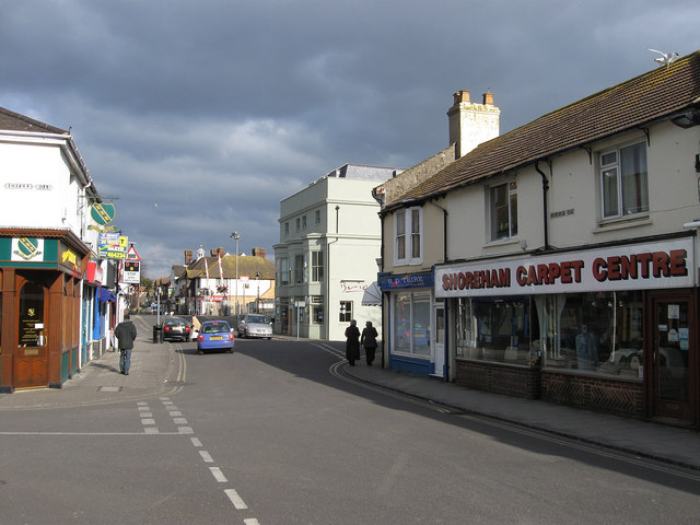
Image: © Simon Carey Taken: 1 Feb 2009
Although the main shopping street in Shoreham is High Street, shops also line East Street, St Mary's Road and Brunswick Road effectively the route to the station. Taken from the junction with Western Road, the Brio Italian restaurant, the pale green building on the right, was formerly this Image
Images are licensed for reuse under creativecommons.org/licenses/by-sa/2.0
Image Location
Latitude
50.833719
Longitude
-0.272599