Adur Civic Centre
Introduction
The photograph on this page of Adur Civic Centre by Simon Carey as part of the Geograph project.
The Geograph project started in 2005 with the aim of publishing, organising and preserving representative images for every square kilometre of Great Britain, Ireland and the Isle of Man.

There are currently over 7.5m images from over 14,400 individuals and you can help contribute to the project by visiting https://www.geograph.org.uk
Adur Civic Centre
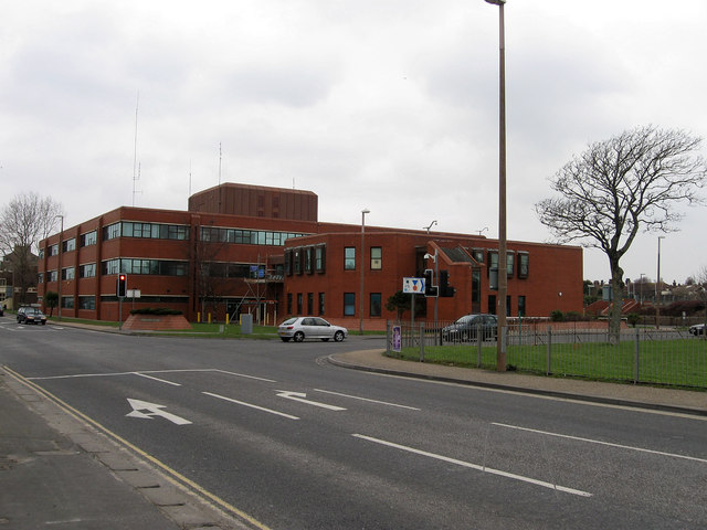
Image: © Simon Carey Taken: 1 Feb 2009
Built in the 1970s to house the new civic offices of the recently formed Adur District Council.
Images are licensed for reuse under creativecommons.org/licenses/by-sa/2.0
Image Location
Latitude
50.833104
Longitude
-0.267509