Christchurch, The Stourvale
Introduction
The photograph on this page of Christchurch, The Stourvale by Mike Faherty as part of the Geograph project.
The Geograph project started in 2005 with the aim of publishing, organising and preserving representative images for every square kilometre of Great Britain, Ireland and the Isle of Man.

There are currently over 7.5m images from over 14,400 individuals and you can help contribute to the project by visiting https://www.geograph.org.uk
Christchurch, The Stourvale
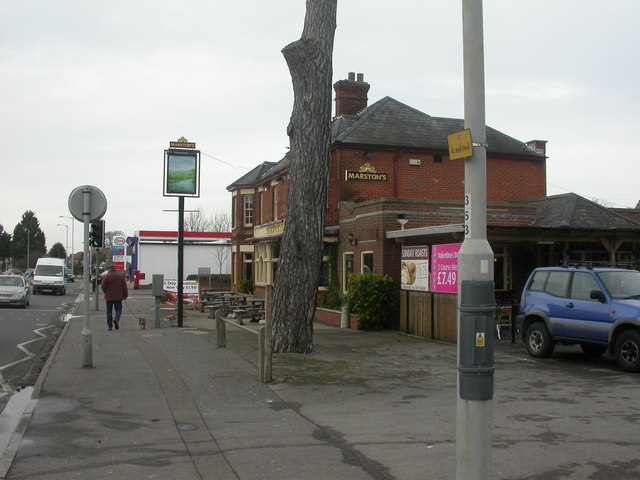
Image: © Mike Faherty Taken: 4 Feb 2009
Edwardian-looking pub on Barrack Road. Internally, central oval bar, drinking & eating areas on three sides, pool & TV to left. Cask ales on offer at my visit: Jenning's Sneck-Lifter, Ringwood Best. For some customer reviews, see http://www.beerintheevening.com/pubs/s/23/2325/Stourvale/Christchurch
Images are licensed for reuse under creativecommons.org/licenses/by-sa/2.0
Image Location
Latitude
50.742737
Longitude
-1.800257