Preston 'Riversway' Docklands
Introduction
The photograph on this page of Preston 'Riversway' Docklands by Martin Stockdale as part of the Geograph project.
The Geograph project started in 2005 with the aim of publishing, organising and preserving representative images for every square kilometre of Great Britain, Ireland and the Isle of Man.

There are currently over 7.5m images from over 14,400 individuals and you can help contribute to the project by visiting https://www.geograph.org.uk
Preston 'Riversway' Docklands
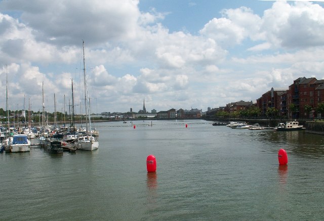
Image: © Martin Stockdale Taken: 21 May 2005
Preston's Albert Edward dock has been rejuvenated with recreational boating facilities, modern flats and a retail estate. The steeple of St Walburge's Church, one of the highest in England, is visible in the background.
Images are licensed for reuse under creativecommons.org/licenses/by-sa/2.0
Image Location


Leaflet Map data © OpenStreetMap
Latitude
53.759586
Longitude
-2.73713