The crest of Belper Avenue
Introduction
The photograph on this page of The crest of Belper Avenue by Alan Murray-Rust as part of the Geograph project.
The Geograph project started in 2005 with the aim of publishing, organising and preserving representative images for every square kilometre of Great Britain, Ireland and the Isle of Man.

There are currently over 7.5m images from over 14,400 individuals and you can help contribute to the project by visiting https://www.geograph.org.uk
The crest of Belper Avenue
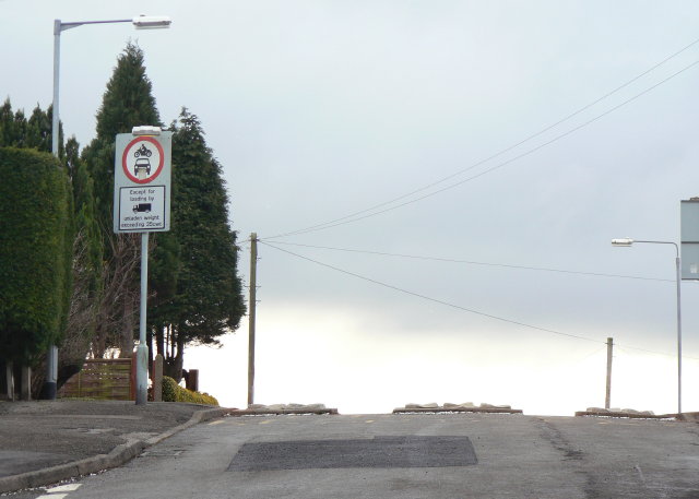
Image: © Alan Murray-Rust Taken: 1 Feb 2009
Behind the photographer, Belper Avenue becomes Baslow Avenue. The blocks in the road are to prevent the use of the roads as a short cut between Cavendish Road and Westdale Lane. The relaxation of the restriction for vehicles over 35 cwt for loading is almost certainly specifically to allow passage for bin lorries, as there is no means of turning at the barrier. See also Image
Images are licensed for reuse under creativecommons.org/licenses/by-sa/2.0
Image Location
Latitude
52.974151
Longitude
-1.094397