Lambley Lane Recreation Ground (South)
Introduction
The photograph on this page of Lambley Lane Recreation Ground (South) by Alan Murray-Rust as part of the Geograph project.
The Geograph project started in 2005 with the aim of publishing, organising and preserving representative images for every square kilometre of Great Britain, Ireland and the Isle of Man.

There are currently over 7.5m images from over 14,400 individuals and you can help contribute to the project by visiting https://www.geograph.org.uk
Lambley Lane Recreation Ground (South)
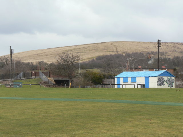
Image: © Alan Murray-Rust Taken: 1 Feb 2009
This section, to the south of Lambley Lane, comprises an all-weather cricket pitch and a children's play area. Behind can be seen the bridge carrying Lambley Lane over the former railway with the former Gedling Colliery spoil heap forming the backdrop.
Images are licensed for reuse under creativecommons.org/licenses/by-sa/2.0
Image Location
Latitude
52.981886
Longitude
-1.083213