Albion Street
Introduction
The photograph on this page of Albion Street by Simon Carey as part of the Geograph project.
The Geograph project started in 2005 with the aim of publishing, organising and preserving representative images for every square kilometre of Great Britain, Ireland and the Isle of Man.

There are currently over 7.5m images from over 14,400 individuals and you can help contribute to the project by visiting https://www.geograph.org.uk
Albion Street
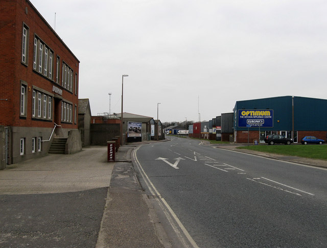
Image: © Simon Carey Taken: 1 Feb 2009
The name of the A259 as it travels through the parish of Southwick. The road first came into existence during the 1780s as an alternative to the older Old Shoreham Road, the current A270, and was turnpiked in 1822. Originally the major commercial hub of the town many of the shops and terraced houses disappeared from the street in the late 1950s when Southwick Square was built north of the railway line. The road is now lifeless containing warehouses on one side and featureless flats built back from the road on the other.
Images are licensed for reuse under creativecommons.org/licenses/by-sa/2.0
Image Location
Latitude
50.831329
Longitude
-0.239031