Path to Ellesmere from Sandy Lane
Introduction
The photograph on this page of Path to Ellesmere from Sandy Lane by j wilbraham as part of the Geograph project.
The Geograph project started in 2005 with the aim of publishing, organising and preserving representative images for every square kilometre of Great Britain, Ireland and the Isle of Man.

There are currently over 7.5m images from over 14,400 individuals and you can help contribute to the project by visiting https://www.geograph.org.uk
Path to Ellesmere from Sandy Lane
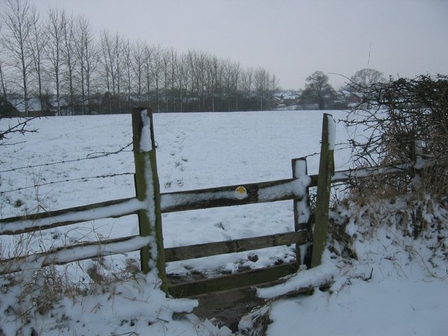
Image: © j wilbraham Taken: 3 Feb 2009
The line of poplar trees delineates the line of the Ellesmere to Whitchurch railway, now infilled, at the top of Hillcrest
Images are licensed for reuse under creativecommons.org/licenses/by-sa/2.0
Image Location
Latitude
52.913214
Longitude
-2.891608