Merrow Street
Introduction
The photograph on this page of Merrow Street by Colin Smith as part of the Geograph project.
The Geograph project started in 2005 with the aim of publishing, organising and preserving representative images for every square kilometre of Great Britain, Ireland and the Isle of Man.

There are currently over 7.5m images from over 14,400 individuals and you can help contribute to the project by visiting https://www.geograph.org.uk
Merrow Street
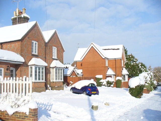
Image: © Colin Smith Taken: 3 Feb 2009
Snowy Guildford. Merrow Street, with its old and new cottages, is now a cul-de-sac. Formerly, it was the main road north from Merrow village centre - but now it is no longer a through road being cut by Kingfisher Drive, the main road in the 1980s Merrow Park housing estate. Note the familiar Surrey diamond pattern in the brickwork of Salisbury Cottage.
Images are licensed for reuse under creativecommons.org/licenses/by-sa/2.0
Image Location
Latitude
51.25057
Longitude
-0.531287