Flytipping in Drighlington
Introduction
The photograph on this page of Flytipping in Drighlington by Chris Heaton as part of the Geograph project.
The Geograph project started in 2005 with the aim of publishing, organising and preserving representative images for every square kilometre of Great Britain, Ireland and the Isle of Man.

There are currently over 7.5m images from over 14,400 individuals and you can help contribute to the project by visiting https://www.geograph.org.uk
Flytipping in Drighlington
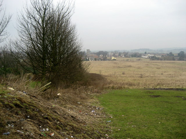
Image: © Chris Heaton Taken: 27 Jan 2009
Unsightly rubbish behind Wakefield Road, Drighlington.
Images are licensed for reuse under creativecommons.org/licenses/by-sa/2.0
Image Location


Leaflet Map data © OpenStreetMap
Latitude
53.755153
Longitude
-1.653715